Mount Isobel
| Elevation | 553 metres |
| Prominence | 207 metres |
| Location | -32.8021, 150.9491 |
| Region | North |
| Points | 3 |
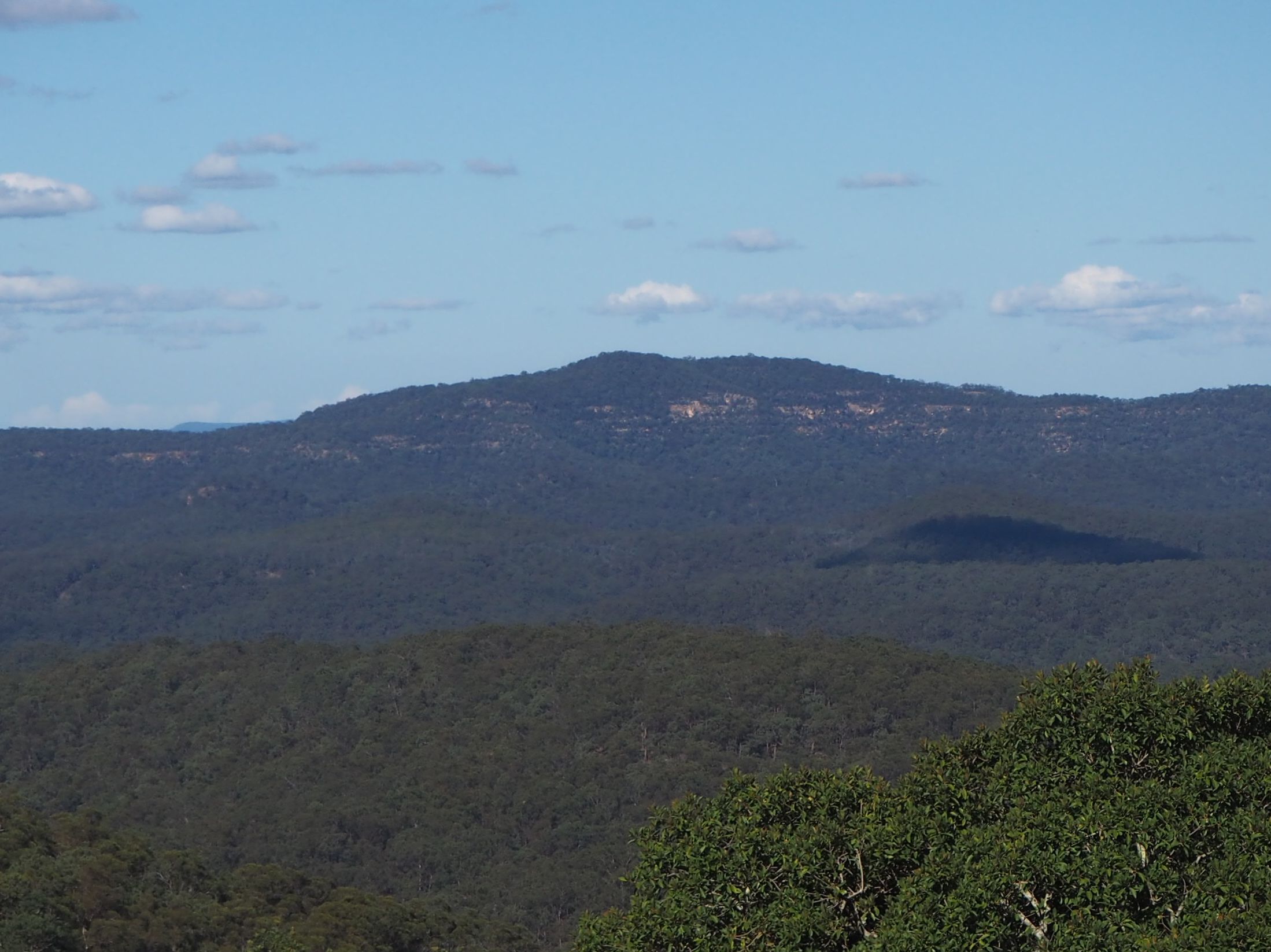
Mount Isobel is a remote mountain in classic Hawkesbury sandstone wilderness. The route here follows narrow ridges that afford good views of the surrounding wilderness along most of the walk. This is a long route, requiring over 10km of off-track walking through sometimes thick vegetation. The return walk took me over 12 hours.
Driving directions
From the Colo River bridge, drive north along Putty Road. The turnoff is 102km north of Colo River bridge, or 14km north from the MacDonald River crossing. You are looking for a steep narrow ashphalt driveway on your right as the road sweeps to the left. Drive up this driveway and park at a small dirt clearing at the top of the driveway, near a National Parks sign.
Directions to the summit
1. Follow North Link Trail for around 3km to a high point.
2. Leave the trail and follow the ridge in a roughly east direction. Keep on the ridge top. If you start heading down into a creek you are going the wrong way.
3. At the hill marked 436 on the topo, turn north east. Keep following the ridge up to a high hill.
4. On the north side of the hill is a rocky lookout with a good view across the valley to Mount Isobel. Head northwest off the hill. There is a steep rocky climb down to a saddle and up to another hill.
5. Turn east and follow the ridge up toward the summit.
6. The summit is flat but covered by a very unpleasant thick tall scrub. The high point is a large rock cairn hidden in the scrub at the northern end of the summit plateau.